IMAGE VIA WOAH
A YEAR ago the tropical Pacific Ocean was cool. By February this year, forecasters gave El Niño only a one-in-ten chance of showing up by spring. Then, within a few months, almost everything changed. By May, the same forecasting models that had been so unconvinced were putting the odds of El Niño at 98%. In June America’s National Oceanic and Atmospheric Administration made it official: El Niño has arrived, and it is expected to keep strengthening through the rest of the year. The speed of that flip, more than the event itself, is what has climate scientists paying close attention.
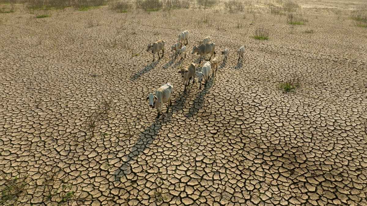
El Niño is, at its simplest, what happens when the normal pattern of winds and currents across the tropical Pacific breaks down. Ordinarily, trade winds push warm surface water westwards, piling it up near Indonesia while cooler water rises to the surface off South America. During El Niño, those winds weaken or reverse, and the warm water sloshes back towards the eastern Pacific instead. That single shift in ocean temperature, spread across an area bigger than the continental United States, is enough to nudge weather patterns out of position all over the planet: storm tracks shift, monsoons strengthen or fail, fish swim somewhere else, and global average temperatures tend to tick upwards for a year or two.
What worries forecasters this time is not that El Niño is coming. It is how fast it got here, and how strong it might become. NOAA’s latest outlook gives a 63% chance that sea surface temperatures in the key monitoring zone will exceed two degrees above normal between November and January: the threshold for what scientists call a “very strong” event, on a par with the famous 1997 and 2015 episodes that triggered floods in California, drought in Indonesia and a global coral bleaching crisis.
Some independent forecasters are going further, warning of a “super” El Niño by the end of the year. Nobody is certain yet. The transition is happening during what meteorologists wryly call the spring predictability barrier, a stretch of the year when ocean forecasts are historically at their least reliable, which makes the unusually high confidence behind this forecast all the more striking.
The timing compounds the concern. The world has just come through a multi-year La Niña, the cooler counterpart to El Niño, which tends to put a small brake on global temperatures. Even so, 2025 still ranked as the third-warmest year on record, behind only 2023 and 2024—both El Niño years.
If a strong El Niño now lands on top of a planet that is already, independently, getting hotter, the next twelve to eighteen months could push global temperature records into territory nobody has measured before. The last time a strong El Niño coincided with this kind of underlying warming, in 2023 and 2024, the result was the two hottest years humanity has ever recorded.
The practical effects will not be uniform, and forecasters are careful to say so. A typical El Niño tends to dampen Atlantic hurricane activity by stirring up high-altitude winds that tear storms apart before they can organise, which is part of why NOAA expects a quieter hurricane season this year.
At the same time, it tends to bring wetter winters to the southern United States, drought risk to parts of Asia and Africa, and disruption to fisheries off South America that depend on the cold water El Niño pushes away. Every El Niño plays out a little differently. What is unusual about this one is the speed of its arrival: a system that went from unlikely to almost certain in the space of three months, and that climatologists are now watching very closely to see how high it climbs. ■